


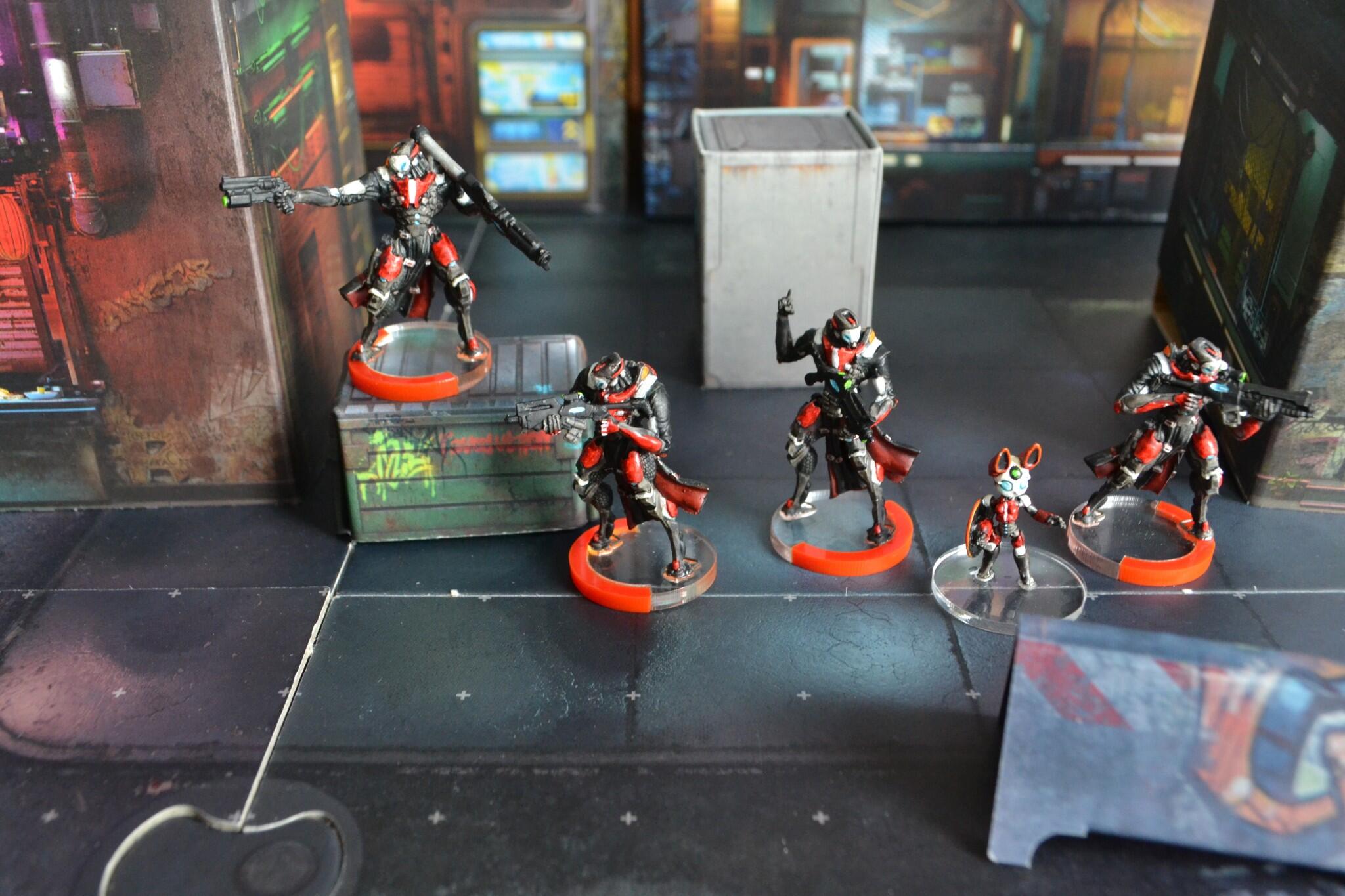
Tunguska Super Friends Team
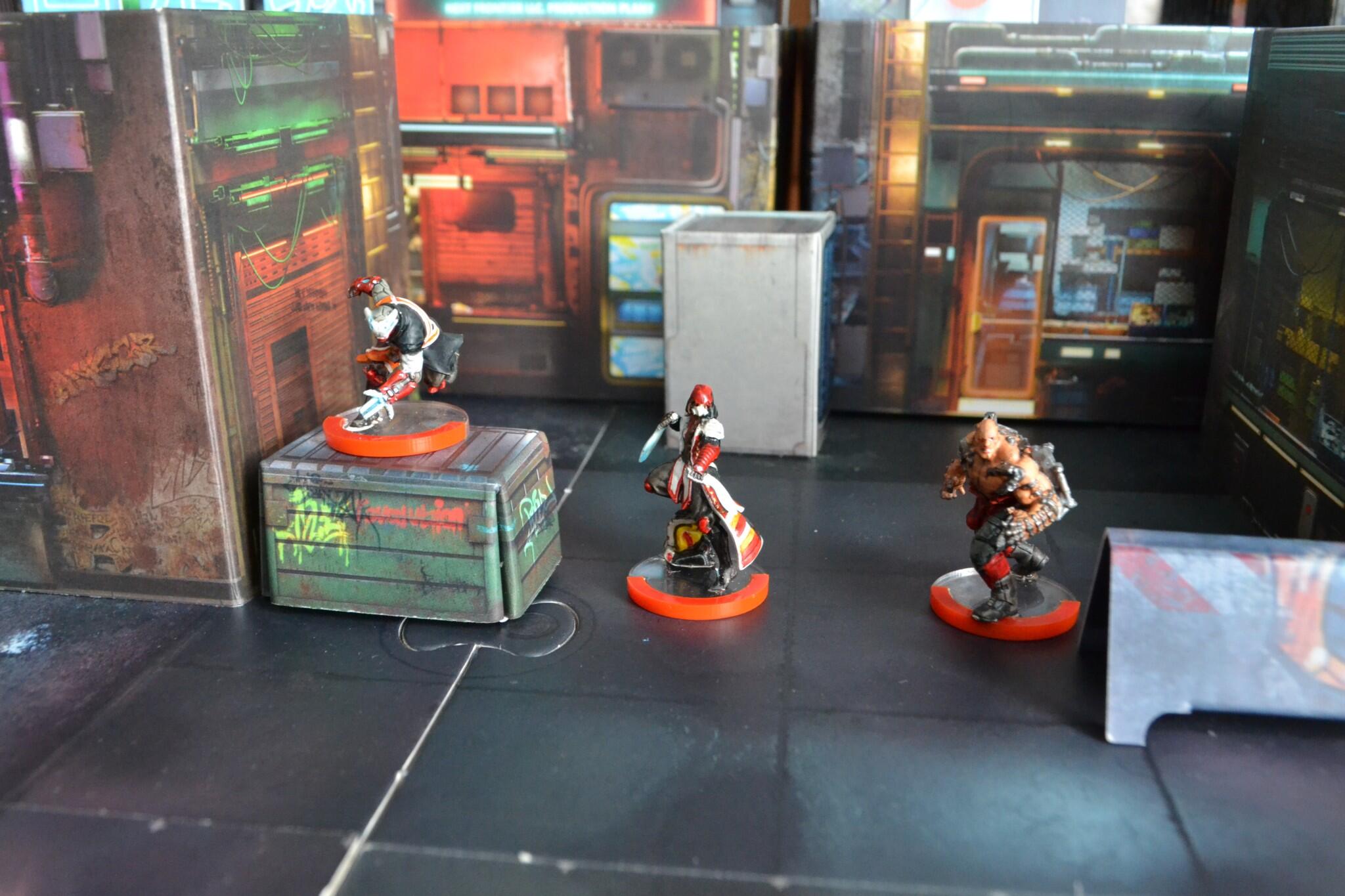
Perseus, Fiddler and Raoul Spectre make up the final form of the Nayemnik fireteam.

Father Lucien Sforza
The man Tunguska call when they need a dog warden.
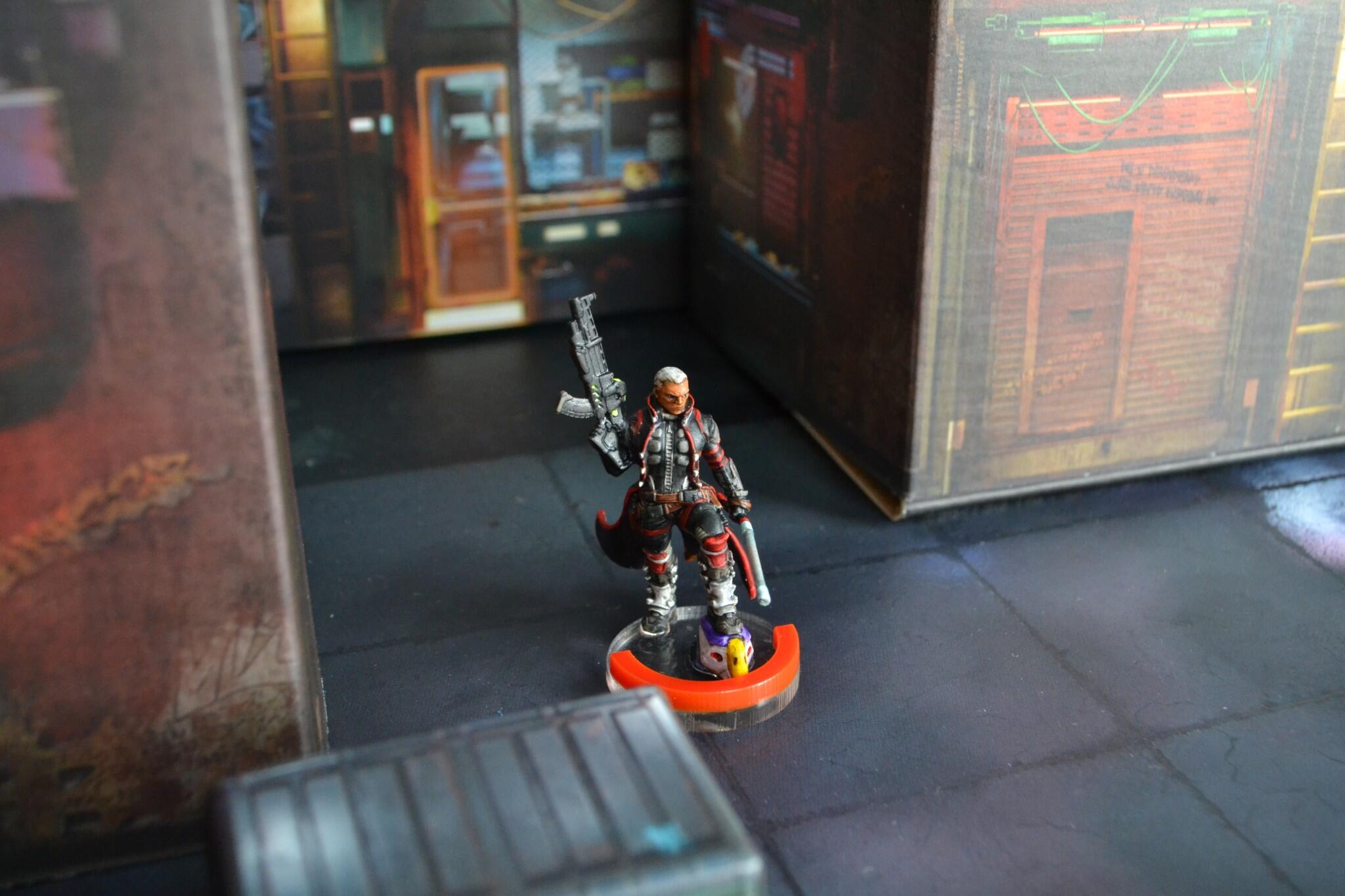
Authorised Bounty Hunter
Money talks and people walk.
Nothing to see here.
Perseus, Fiddler and Raoul Spectre make up the final form of the Nayemnik fireteam.
The man Tunguska call when they need a dog warden.
Money talks and people walk.
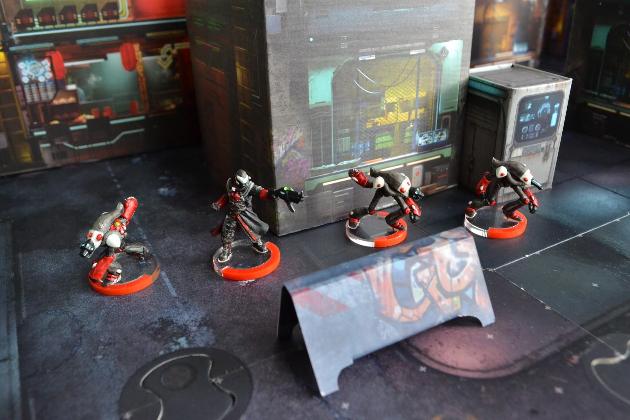
The premier hackers of the Human Sphere and their network projectors on legs.

The Tactical ÜberHacker.
Covert, deniable, and clandestine. In your midfield causing you concern.
These aren’t the hackers you are looking for.
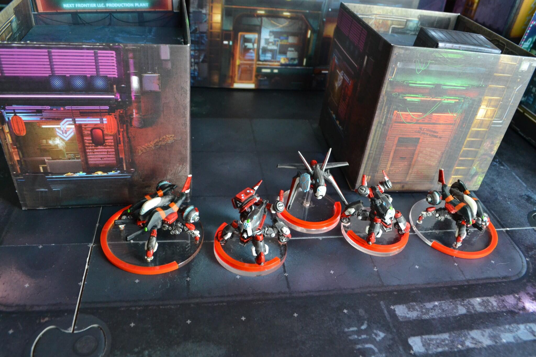
Emotionally stunted brains in jars that think the remote bodies they are piloting are in a competative first-person shooter arena, The Hollow Men are the main strike force of Tunguska’s Jurisdictional Command.

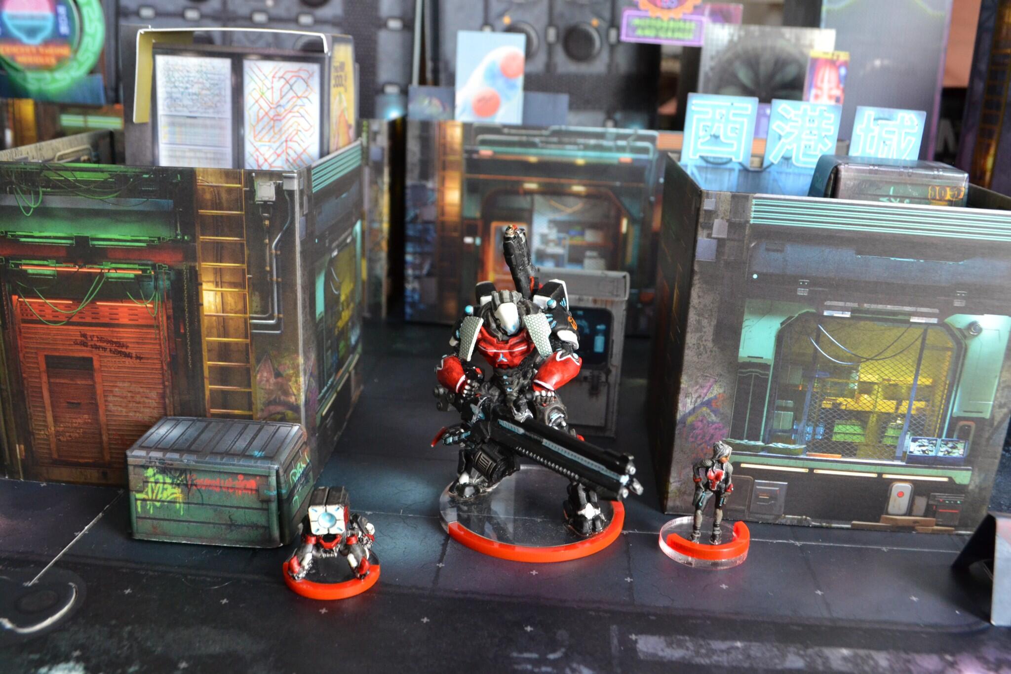
A premier Main Battle T.A.G. with the fearsome Hyper-Rapid Magnetic Cannon.
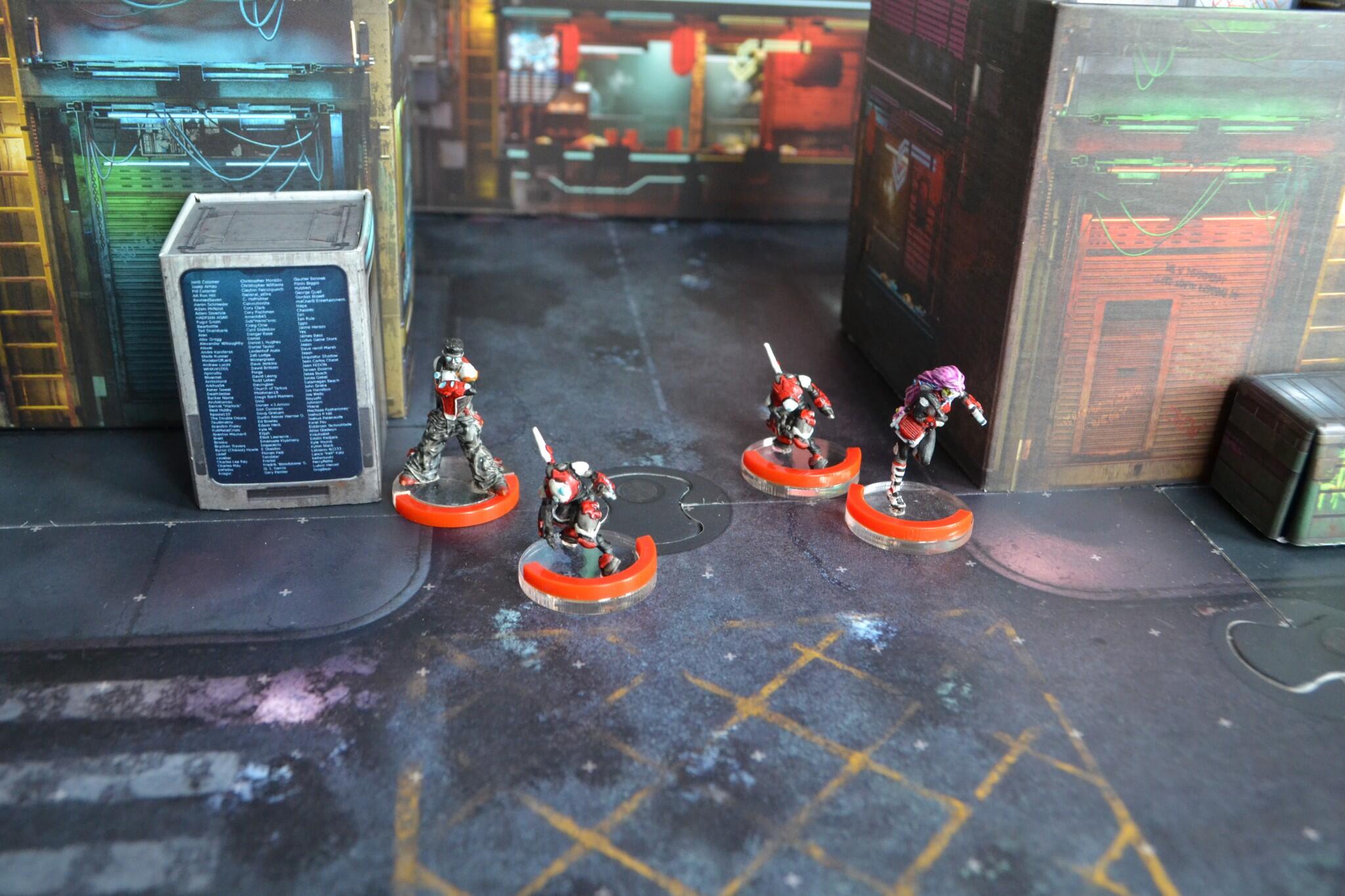
The Special Crisis Units are deployed where there is a crisis, or where they need to create one for the enemy.
Fast moving and hard hitting, the Zondnaut and transforming Zondmate AI motorcycle make a potent offencive unit.
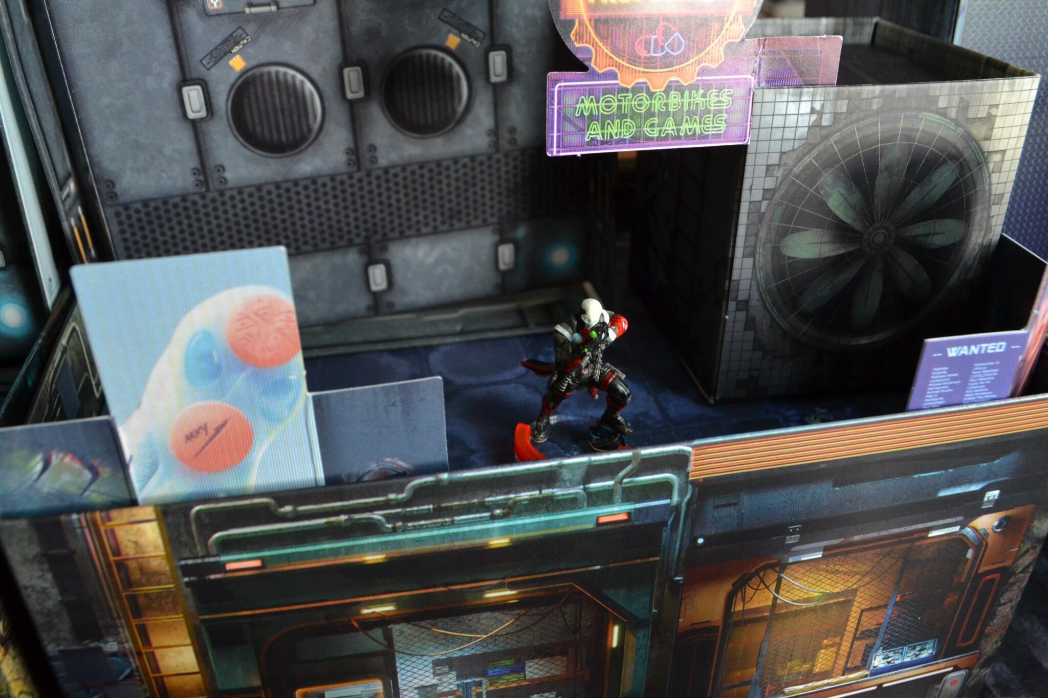
Tunguska’s cyber-ninja.
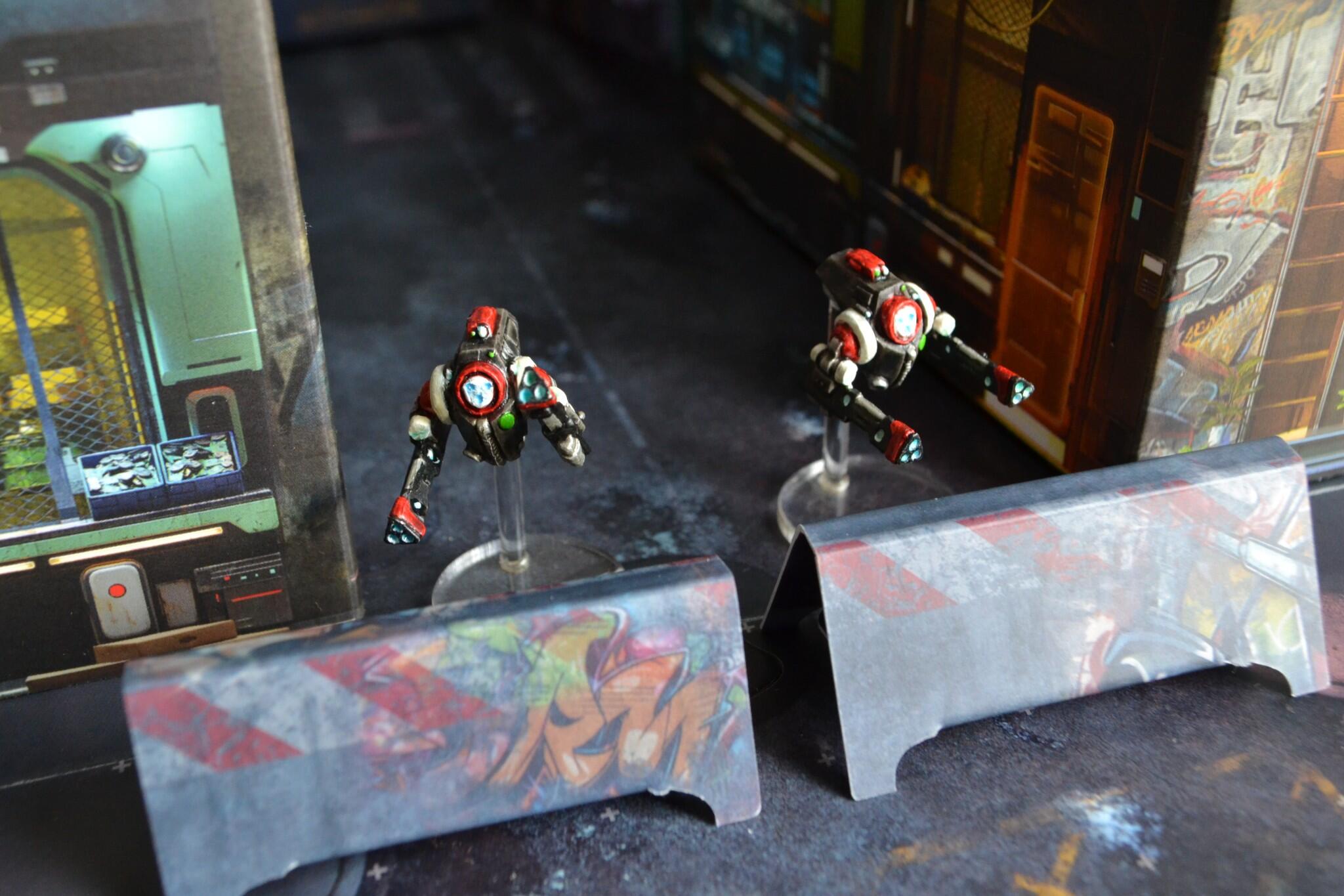
The Pupet Master’s periperals cause all sorts of problems in the mid field.
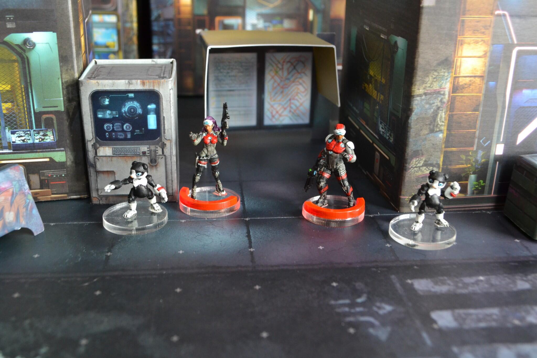
Clockmakers and Daktaris from Bakunin help get units moving again with the help of their Zondbots.
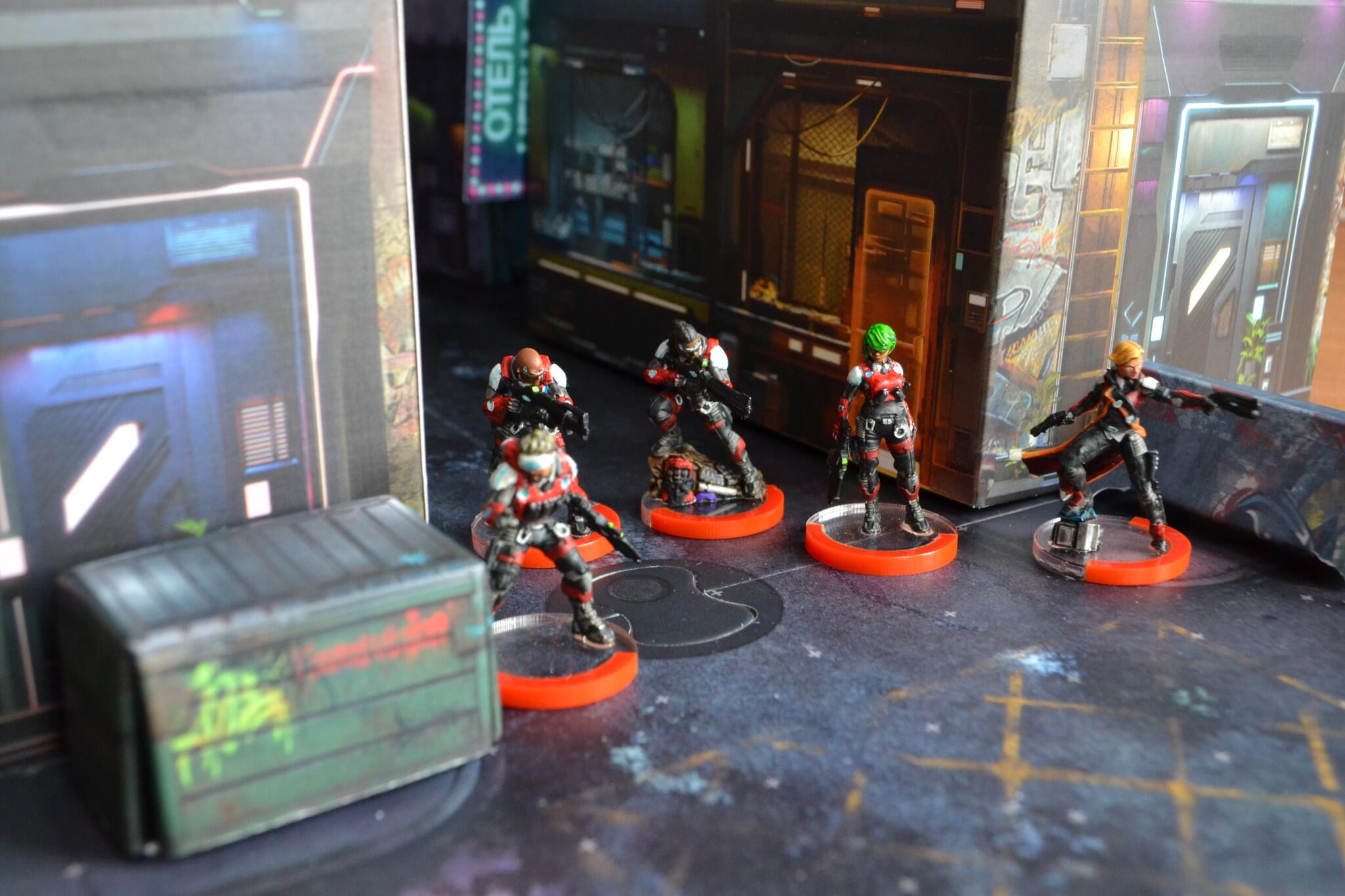
Long range firepower is provided by the Grenz Security Team.
Coming from the underground Nomad Aristeia! arena fighting leagues they provide a close range threat.
Autonomous sentry guns.
Tunguska’s paramitary security force with Jelena Kovač, Securitate DI.
The essential support element of a Nomad force, their remote technology augments most force deployments.
It’s November 1939 and Glasgow is looking for Bremen near Shetland; four destroyers have left Belfast – but Belfast is in Glasgow; Newcastle is off the Firth of Forth in proximity to Delhi; Rawalpindi is now between the Færös and Iceland; Norfolk and Suffolk are in the Denmark Straight (which is between Greenland and Iceland) heading for Bill Bailey’s Bank; south east of Cardiff is Fair Isle where the channel is being guarded by Rosythe Force – including Edinburgh – which is led by Southampton; there’s Aurora round Utsire Light; Repulse is returning to Halifax as is Furious; Dunkerque has left Portsmouth with Hood; there are two dummy battleships being withdrawn and their escorts are proceeding to Ewe, which has been vacated by Sheffield sailing past Lewis, to meet up with Rodney and Devonshire who are with Forbes’ Flag on Nelson; and five submarines from the Forth and Tyne are patrolling god alone knows where (but their spacing has been increased because when hostilities started in 1939 they were trying to torpedo each other).
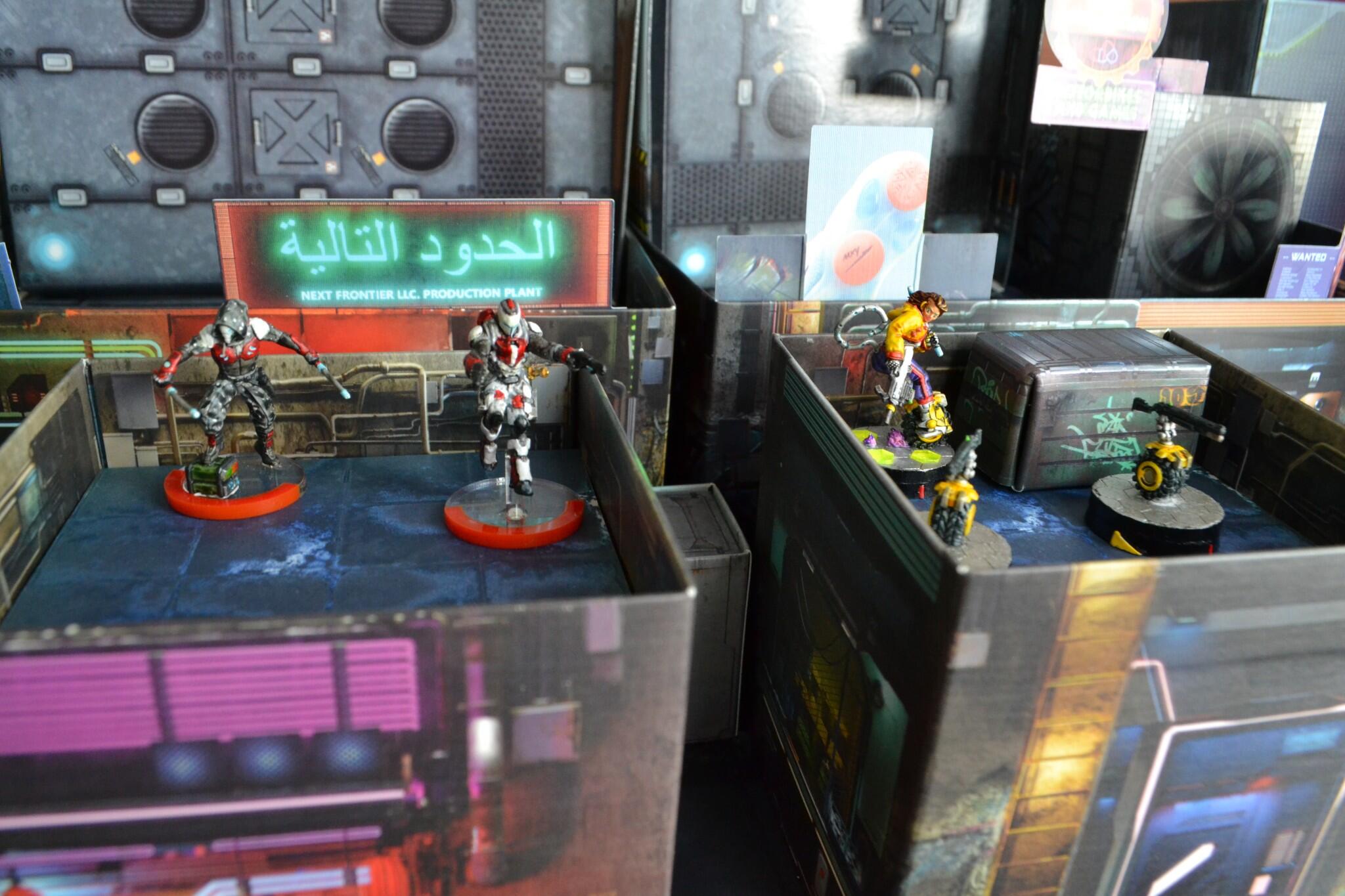
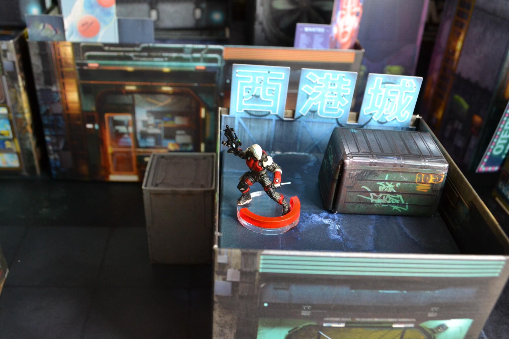
Welcome one and all to the Prime Time Hexadome, the greatest spectacle in the Human Sphere!
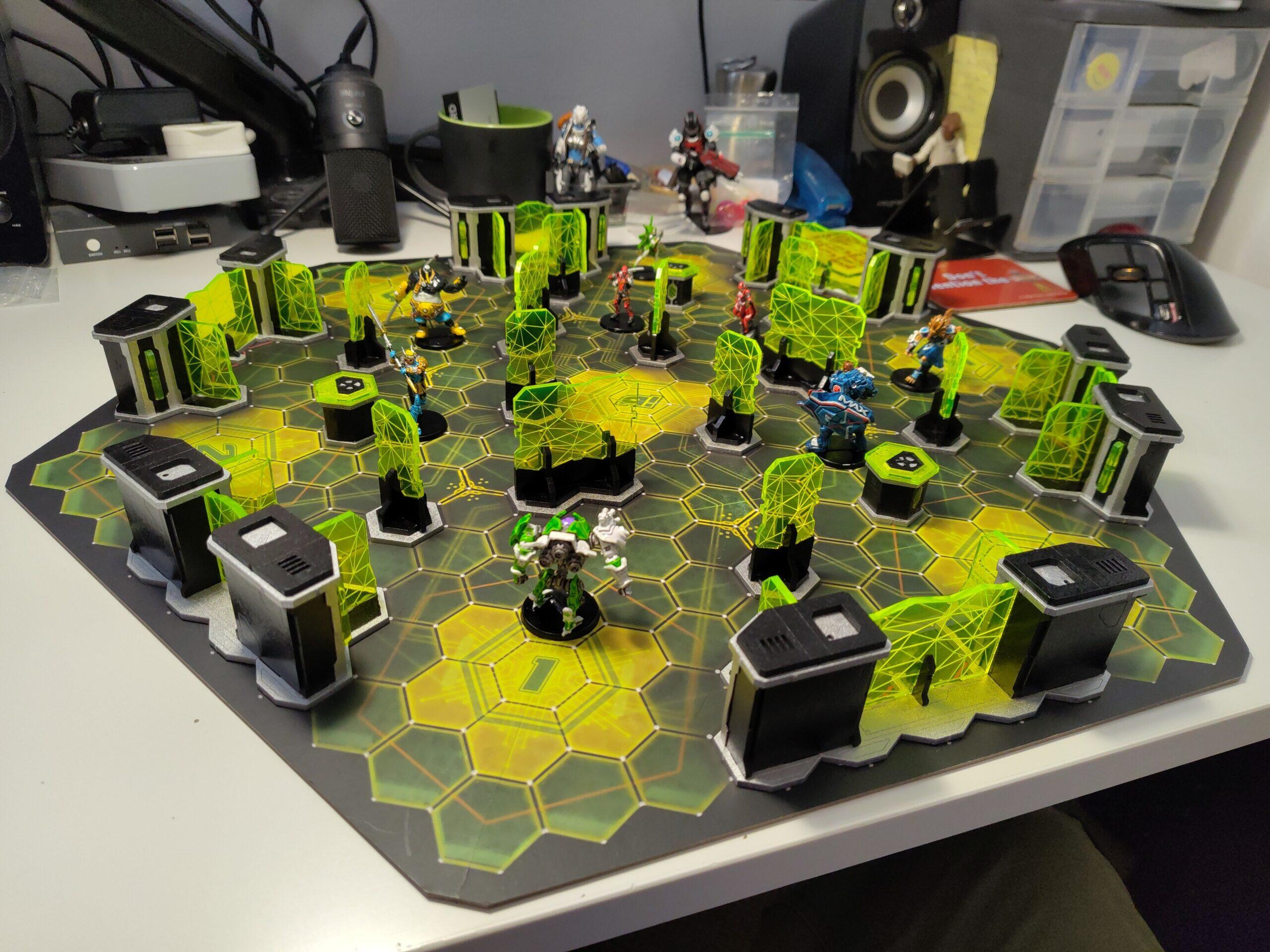
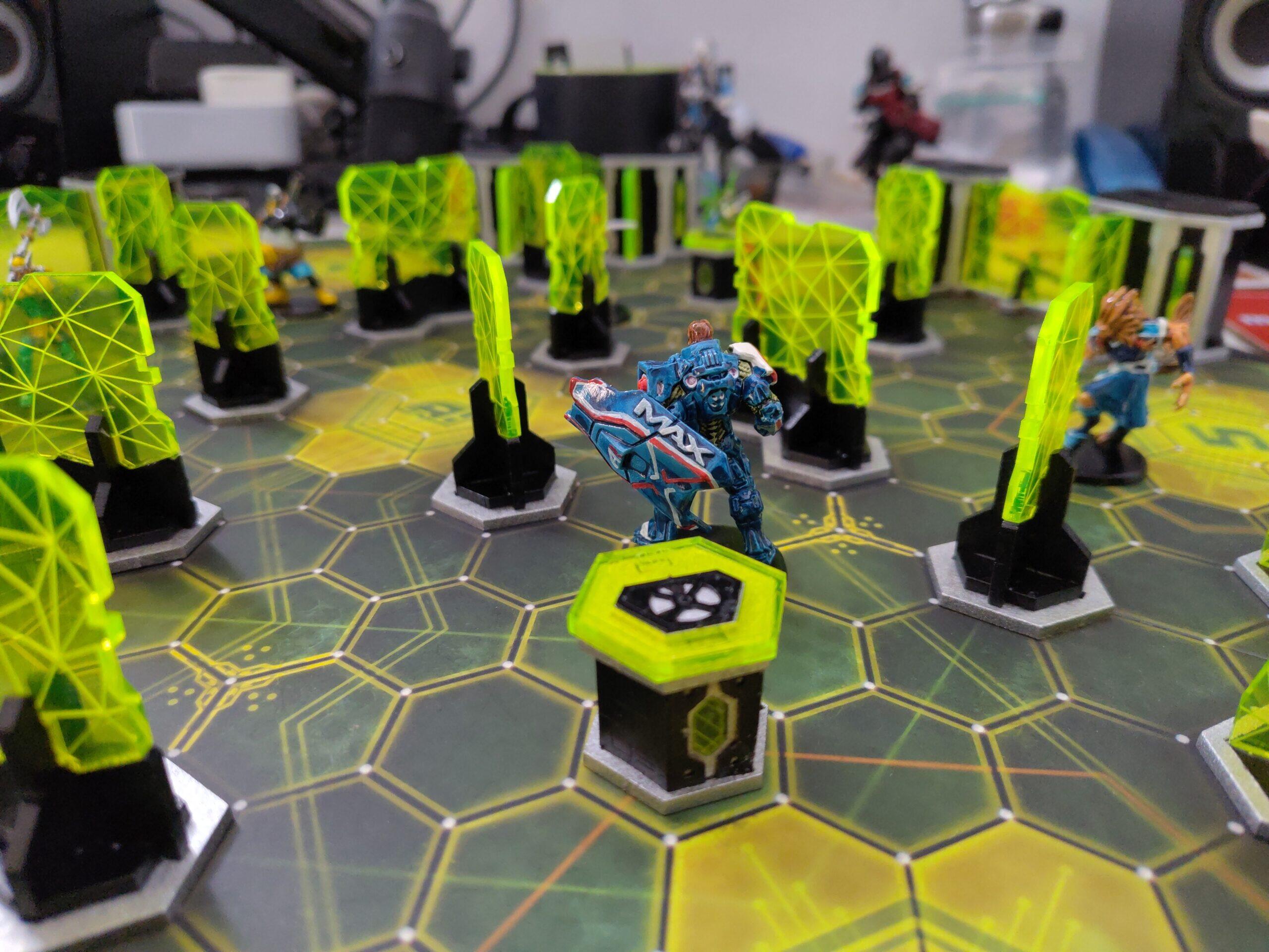
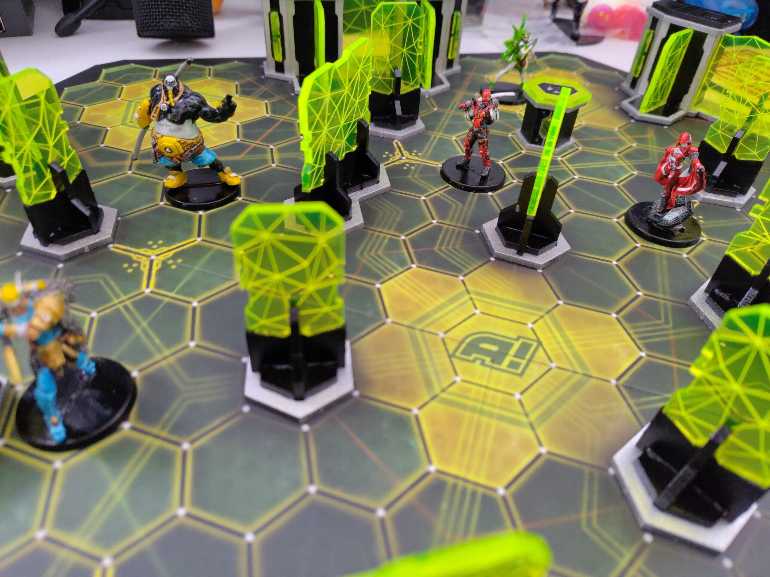
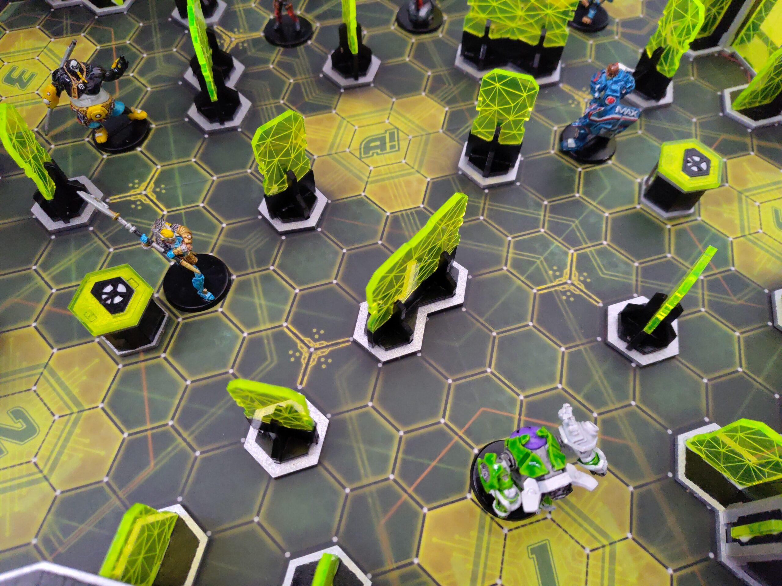
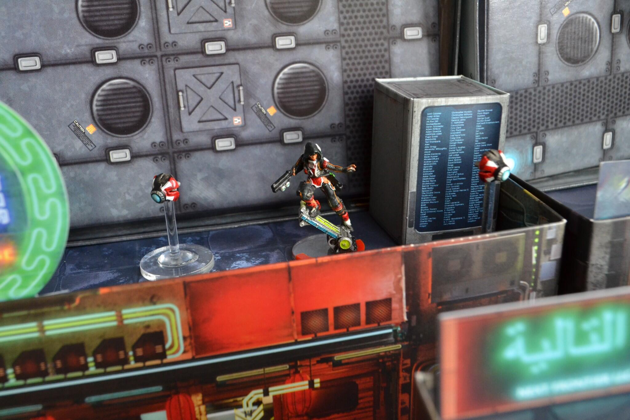
Combination of the Aristeia! scenery pack and the Prime Time scenary pack from Customeeple, in green flour methacrylate.
A reminder to myself of what of my mostly N4 unit Tunguska models I use for proxying in the Nomad list for Code One.
| Unit | Note | Model |
|---|---|---|
| Clockmakers | Engineer | Old Clockmaker |
| Alguaciles | Light Infantry | Securitate |
| Daktaris | Doctor | Reverend Healer |
| Jazz | Hacker | Old Daktari |
| Billie | Peripheral | Zondbot |
| Mary Problems | Hacker | Female Interventor |
| Tomcats | Parachutist, Engineer/Doctor | |
| Zondcat | Peripheral | |
| Grenzers | MSV | Grenzers |
| Hellcats | Parachutist | Zondmate |
| Intruders | MSV, Camo | |
| Sombras | Camo Forward deploy, MSV 2 | Spektr |
| Wildcats | MSV | Zondmate |
| Evaders | Heavy Infantry | Mobile Brigada |
| Kriza Boracs | Super Heavy | Kriza Boracs |
| Mobile Brigada | Heavy Infantry | Hollow Men |
| Taskmasters | Super Heavy | |
| Szalamandra | TAG | |
| Reaction Zond | TR Bot | Reaction Zond |
| Stempler Zond | Spec Op, Climb | Stempler Zone |
| Transductor Zond | Mim 3, no weapon | Transductor Zone |
| Vertigo Zond | Missile | Meteor Zond |
| Vostok Sputniks | Climbing plus, Mim 6 | |
| Zondbots | Peripheral | Zonbots, Fast Pandas |
| Perseus | Mim 6, Martial arts 3 | Authorised Bounty Hunter in heavy armour |
| Wolfgang Amadeus Wolf | Martial arts |

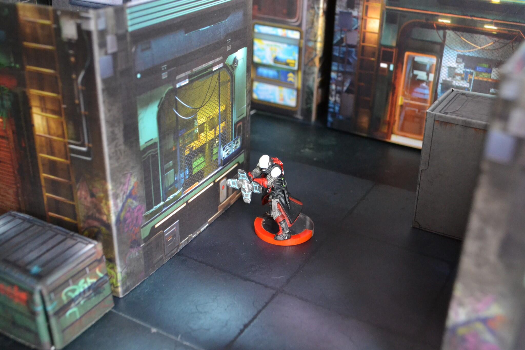
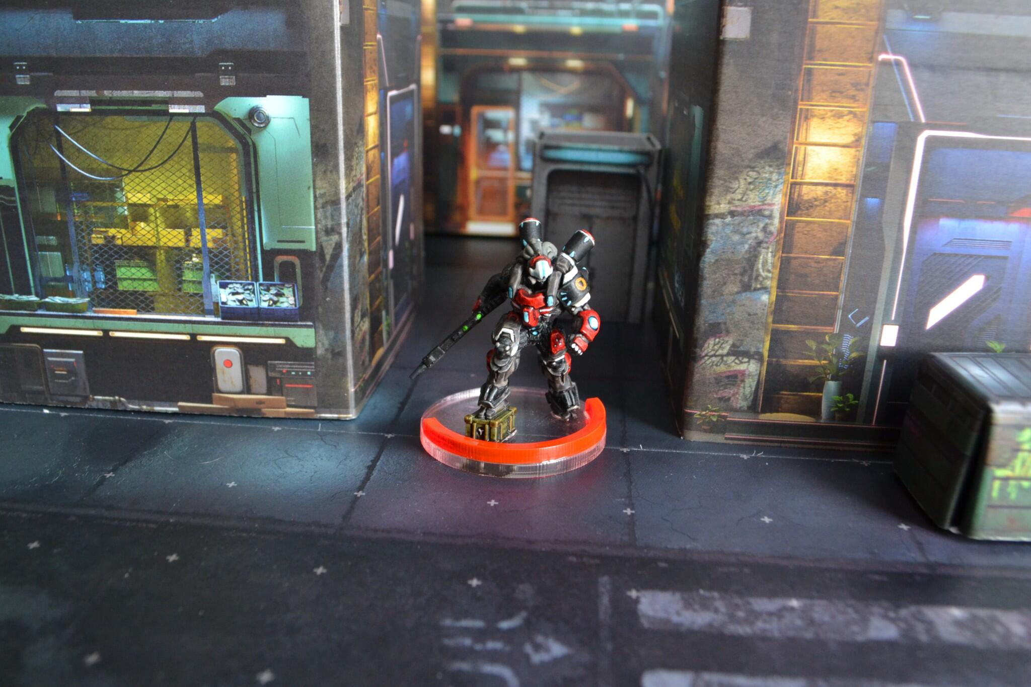
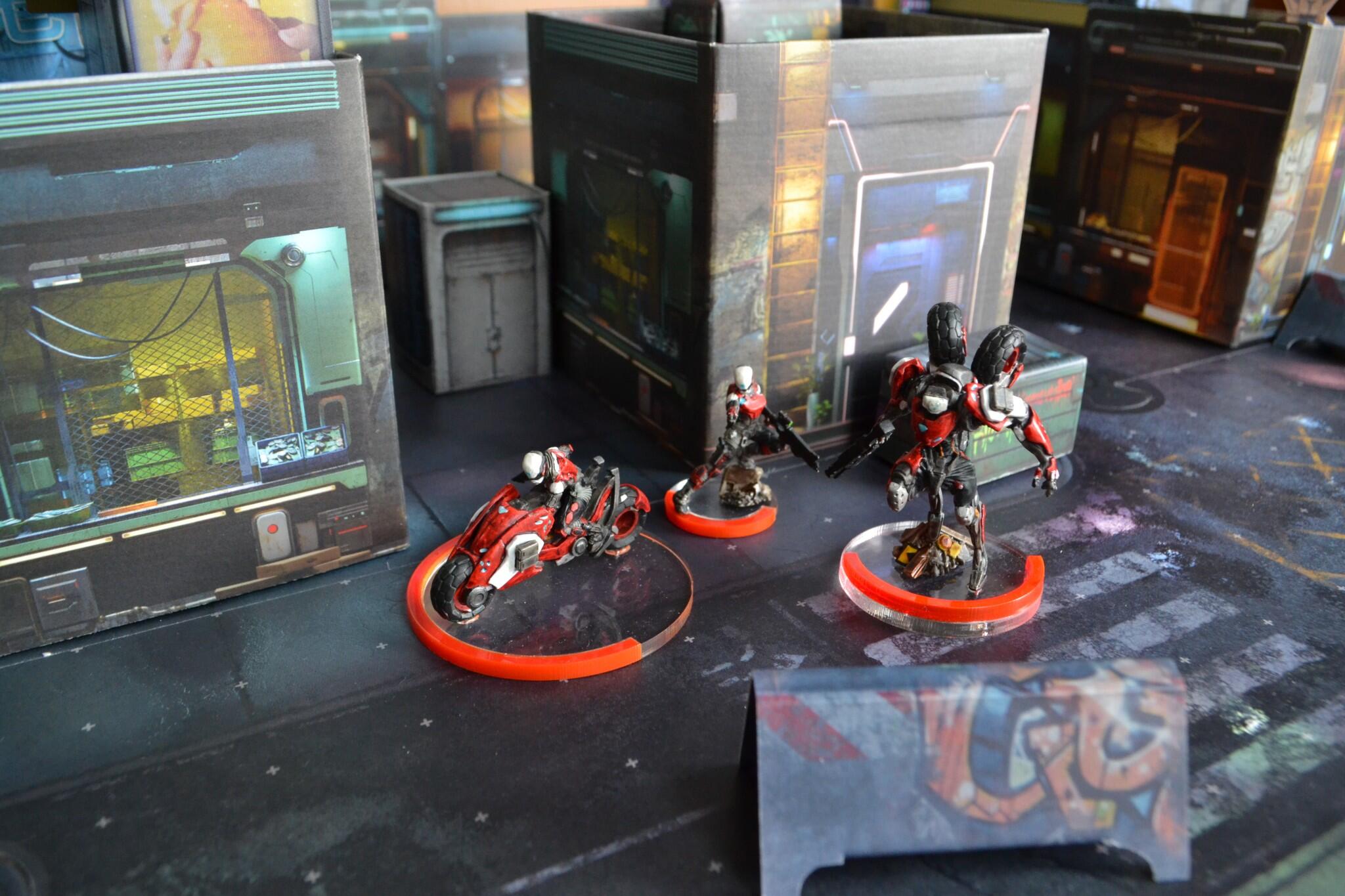
Finished putting together some scenery for Infinity.
Items are from: